Japan is a country surrounded by mountains and seas, with a highly varied terrain. Within its long and narrow archipelago lie steep mountains, rich rivers, limited plains, and a complex coastline, all of which have greatly influenced its natural environment and the lives of its people. This article introduces the basic features of Japan’s geography and its specific landforms.
Characteristics of Japan’s Geography
Japan’s geography has the following features:
- About 70% of the land is mountainous
- Plains are few, with much of the population concentrated in small areas.
- It is located in a region of active earthquakes and volcanic activity.
- Rivers are short and fast-flowing.
- It is surrounded by the sea, with a deeply indented coastline.
Under these geographical conditions, Japanese society, culture, and industries have developed. People built settlements in the mountains, used rivers for agriculture and transportation, and lived closely with the sea.
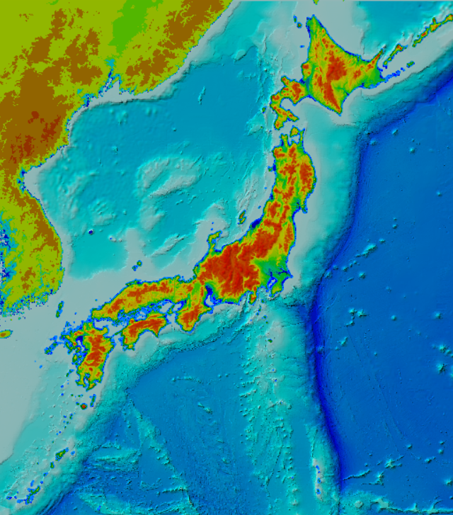
source:Geospatial Information Authority of Japan
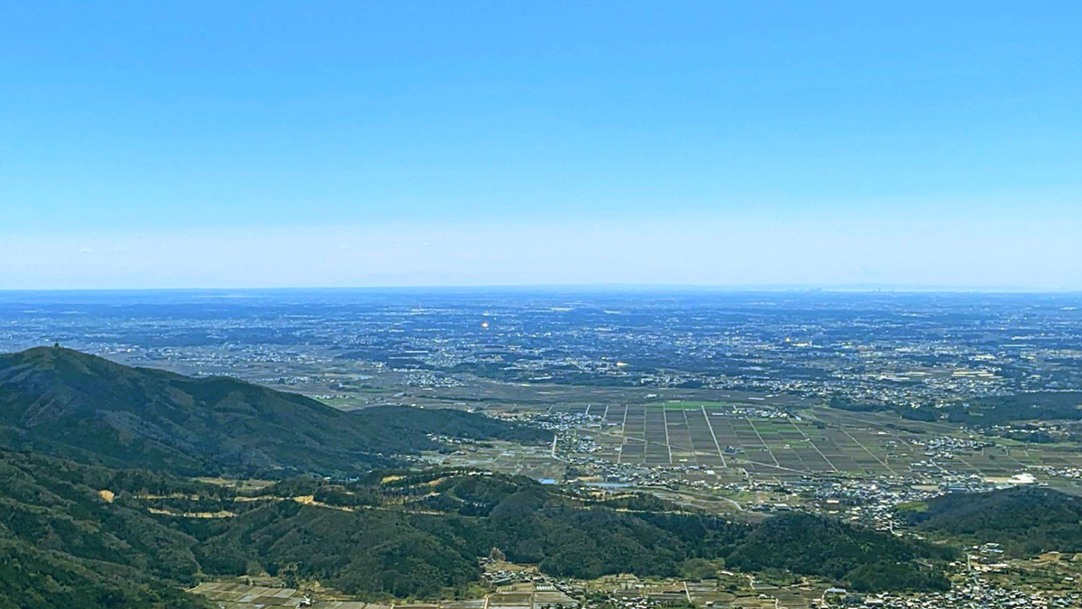
Mountains of Japan
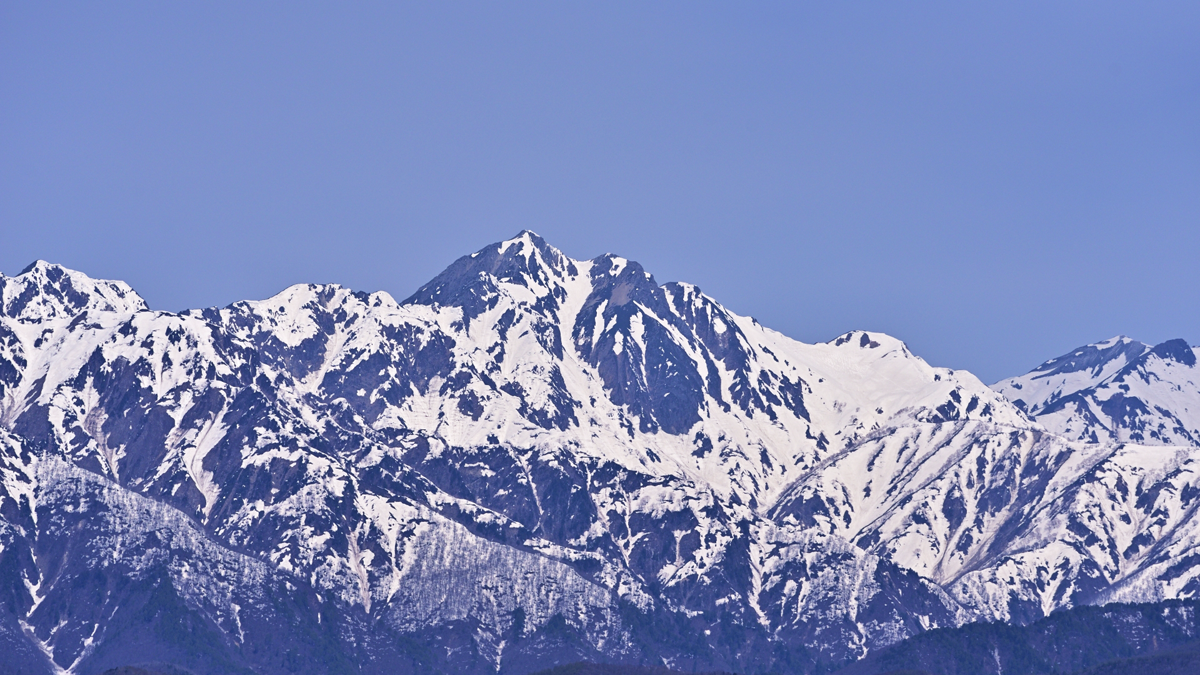
Japan is often called a country of mountains, as they occupy most of the land.
Major mountain ranges and areas:
- The Japanese Alps (Central Highlands): Located in central Honshu, consisting of three ranges—Northern, Central, and Southern Alps. Many peaks rise over 3,000 meters, popular for climbing and tourism.
- Ou Mountains: Stretching north to south through the Tohoku region, known for many volcanoes and hot spring resorts.
- Kyushu Mountains: Located in central Kyushu, including active volcanoes such as Mount Aso.
- Daisetsuzan Range (Hokkaido): Situated in central Hokkaido, home to vast nature and ecosystems.
These mountain ranges also affect climate, creating differences in precipitation and temperature between the Pacific and Sea of Japan sides.
Rivers of Japan
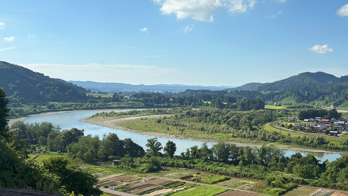
Japanese rivers are generally short and rapid. Because of the many mountains and the short distance to the sea, the rivers have steep gradients.
Major rivers:
- Shinano River: The longest river in Japan (367 km), flowing through Niigata Prefecture.
- Tone River: A major river in the Kanto region with the largest basin area.
- Yodo River: Flowing from Kyoto to Osaka, historically used as a major transportation route.
- Ishikari River: The largest river in Hokkaido, important for agriculture and water resources.
- Chikugo River: An important river in northern Kyushu.
While the fast currents often cause floods and sediment disasters, they are also suitable for hydroelectric power and irrigation.
Plains of Japan
Plains make up only about 30% of Japan’s land, yet population and economic activities are concentrated in these areas.
Major plains:
- Kanto Plain: The largest plain in Japan, home to Tokyo, Yokohama, and other major cities.
- Nobi Plain: Centered on Nagoya, an important industrial area.
- Osaka Plain: The economic center of western Japan, including Osaka and Kobe.
- Niigata Plain: The largest agricultural plain on the Sea of Japan side.
- Ishikari Plain: The largest plain in Hokkaido, home to Sapporo.
Because plains are suitable for cultivation, urban development, and transportation, they are where much of Japan’s human activity is concentrated.
Coastlines of Japan
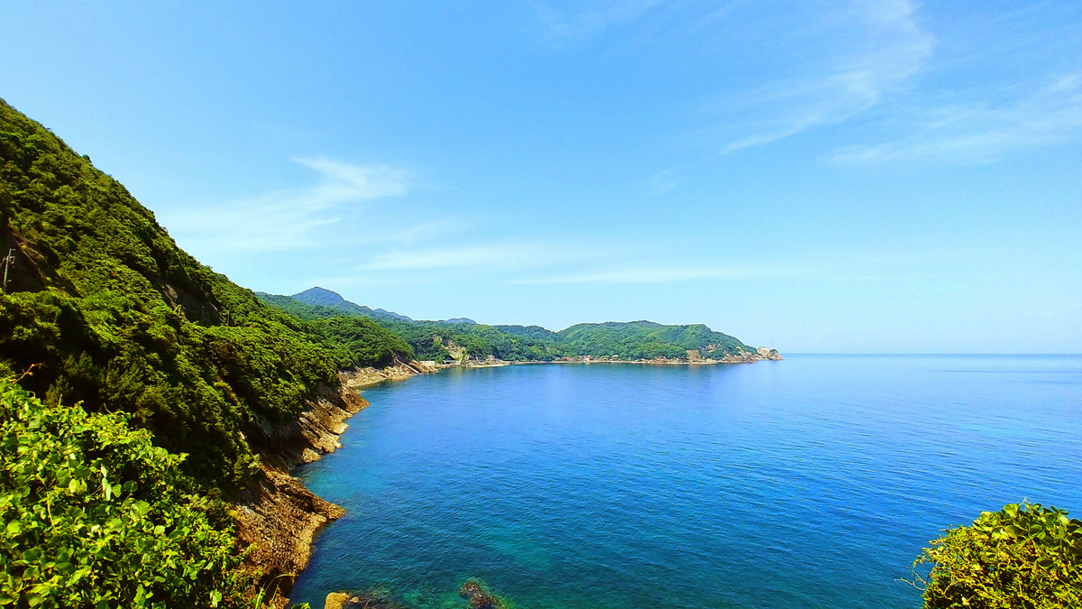
Japan’s coastline extends about 35,000 km in total and is highly irregular.
Types of coastlines:
- Rias coast: Formed where mountains sink into the sea, creating complex inlets (e.g., Sanriku Coast, Wakasa Bay).
- Sandy coasts: Found along the Pacific side and Kanto, known as beaches and tourist spots.
- Rocky coasts: Seen in the Izu Peninsula and Nansei Islands, with rugged formations.
The complex coastline has created good harbors, contributing to the growth of fisheries and port cities.
Ocean Currents Around Japan
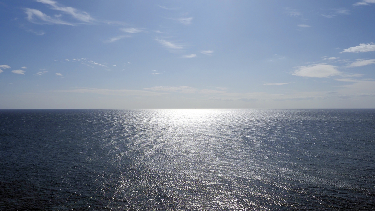
Several ocean currents flow around Japan, strongly influencing its climate and fisheries.
Main currents:
- Kuroshio (Japan Current): A warm current bringing warm water from near the equator, raising temperatures along the Pacific side and forming rich fishing grounds.
- Oyashio (Kuril Current): A cold current from the north, bringing nutrients to the seas of Hokkaido and Tohoku, creating abundant fisheries.
- Tsushima Current: A warm current flowing northward along the Sea of Japan coast, affecting regions such as San’in and the Noto Peninsula.
Where warm and cold currents meet, plankton flourishes, making these waters some of the richest fishing grounds in the world.
Conclusion
Japan’s geography is characterized by its mountainous terrain and limited plains, yet it is blessed with diverse natural environments. Mountains, rivers, plains, coastlines, and ocean currents all deeply shape the lives, culture, and industries of the Japanese people.
By learning about these geographical differences, one can more easily understand the charm and variety of each region in Japan. When traveling, paying attention to geography may change the way one experiences the land.

Comments