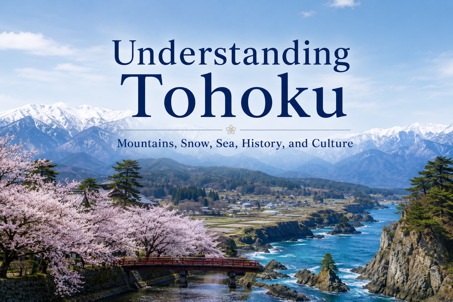
Traveling through the Tohoku region reveals a remarkable variety of landscapes: snow-covered mountain towns, broad rice fields, apple orchards, rugged Pacific coastlines, historic temples, and large summer festivals that give each area its own character.
Tohoku consists of six prefectures: Aomori, Iwate, Miyagi, Akita, Yamagata, and Fukushima. The region stretches a long way from north to south, with the Ou Mountains running through its center. These mountains create a major climatic divide between the Sea of Japan side and the Pacific side, and those differences can be seen in local agriculture, food culture, daily life, and scenery.
Tohoku is also home to a long tradition of mountain worship, a distinctive history represented by places such as Hiraizumi, and festivals that have been passed down through generations in local communities.
Once you understand this background, Tohoku becomes much more than a region of snow, rice fields, and hot springs.
- The Ou Mountains Divide Tohoku’s Climate
- Snow and Mountains Shape the Tohoku Landscape
- The Sea of Japan and Pacific Coasts Have Different Characters
- Cool Temperatures and Broad Plains Support Agriculture and Food Culture
- Mountains Are Places of Faith as Well as Nature
- Hiraizumi Preserves a Distinctive Northern History
- Summer Festivals Reveal Strong Regional Identities
- The Memory of the Great East Japan Earthquake Is Also Part of Understanding Sanriku Today
- Each of Tohoku’s Six Prefectures Has Its Own Character
- Understanding Tohoku Connects the Landscapes You See
- Sources and Further Reading
The Ou Mountains Divide Tohoku’s Climate
The Ou Mountains run from Aomori Prefecture southward toward Fukushima, forming the backbone of the Tohoku region.
These mountains shape the landscape and play a major role in creating different climates on the Sea of Japan and Pacific sides.
In winter, northwesterly seasonal winds from the Asian continent cross the Sea of Japan and pick up moisture. When this moist air reaches the mountains, it brings frequent snow and rain to the Sea of Japan side. On the Pacific side, after the air crosses the Ou Mountains, winter days are often clearer.
If you visit Akita or Yamagata in winter, towns and fields may be buried under deep snow. At the same time, places such as Sendai on the Pacific side may be under clear blue skies.
Even within the same region, crossing the mountains can completely change the winter scenery.
In summer, the Pacific side may also be affected by a cool, damp easterly wind known as yamase. When it continues for an extended period, temperatures can remain low and crops may be affected. This climatic feature has also shaped the history of agriculture and daily life in Tohoku.
Snow and Mountains Shape the Tohoku Landscape
Tohoku is home to many mountains, including the Hakkoda Mountains, Mount Iwate, the Zao Mountains, Mount Gassan, and Mount Bandai.
In the Zao mountain range, which spans Yamagata and Miyagi prefectures, a distinctive winter phenomenon known as juhyo appears. Snow and ice build up around conifer trees until they form massive shapes commonly called “snow monsters” in English. They are among the most recognizable winter landscapes in Tohoku.
Mountain areas are also dotted with hot springs, lakes, and valleys, and their appearance changes dramatically with the seasons. Tohoku includes Towada-Hachimantai National Park, Sanriku Fukko National Park, and Bandai-Asahi National Park, where visitors can experience a wide variety of mountains, volcanoes, lakes, forests, and coastlines.
Shirakami-Sanchi, stretching across Aomori and Akita prefectures, preserves one of East Asia’s largest remaining primeval beech forests. Heavy snowfall is one of the environmental conditions that has helped shape this ecosystem. Shirakami-Sanchi was inscribed as a UNESCO World Natural Heritage Site in 1993.
At Oirase Gorge in Aomori Prefecture, water flowing from Lake Towada passes through a forested valley surrounded by waterfalls, rocks, and moss. Lake Towada itself is a caldera lake formed by long-term volcanic activity.
Snow, volcanoes, forests, and water are not separate attractions. They are all part of a connected natural environment, and that connection is one of the defining features of Tohoku’s mountain scenery.
The Sea of Japan and Pacific Coasts Have Different Characters
Tohoku faces both the Sea of Japan and the Pacific Ocean.
On the Pacific side, the Sanriku Coast extends from southern Aomori through Iwate and Miyagi. In particular, the coastline from Iwate to northern Miyagi is marked by a complex pattern of bays and capes.
This geography creates dramatic scenery, but it has also shaped fishing and coastal life for generations.
Sanriku Fukko National Park was established not only to preserve the natural environment but also to communicate the culture of communities that have long lived with both the blessings and dangers of the sea. The Michinoku Coastal Trail also follows the Pacific coastline from Hachinohe in Aomori Prefecture to Soma in Fukushima Prefecture.
On the Sea of Japan side, coastal plains such as the Shonai Plain and landscapes such as the Oga Peninsula create a very different atmosphere.
Because Tohoku lies between two seas and is divided by a central mountain range, regional differences can be seen in its climate, fishing industries, food culture, and the way towns developed.
Cool Temperatures and Broad Plains Support Agriculture and Food Culture
Traveling through Tohoku by train or car, you will often see large expanses of rice fields.
Tohoku is one of Japan’s major rice-producing regions. A significant share of the country’s rice is grown here, and well-known varieties such as Akitakomachi, Hitomebore, Tsuyahime, and Seiten no Hekireki originated in the region.
Water flowing down from the mountains, broad plains and basins, and the summer climate have all supported rice cultivation.
Fruit growing is also important. Aomori is famous for apples, Yamagata for cherries and European pears, and Fukushima for peaches.
These agricultural products are closely connected to local cuisine, sweets, and sake.
Tohoku also has many well-known sake-producing areas. Rice, water, and cold winter temperatures have all contributed to the development of distinctive brewing traditions.
When you see rice fields and orchards during your trip and later eat local food made from those ingredients, the relationship between the landscape and the dining table becomes easier to appreciate.
Mountains Are Places of Faith as Well as Nature
To understand Tohoku’s mountains, it helps to look not only at the scenery but also at traditions of mountain worship.
Dewa Sanzan in Yamagata Prefecture refers to the three sacred mountains of Mount Haguro, Mount Gassan, and Mount Yudono. For centuries, they have been important centers of Shugendo, a Japanese ascetic tradition, and the practices of the yamabushi mountain ascetics continue today.
In the religious tradition of Dewa Sanzan, Mount Haguro is associated with the present, Mount Gassan with the past, and Mount Yudono with the future. Visiting all three mountains has long been understood as a symbolic journey of rebirth, and pilgrimages became especially popular during the Edo period.
Here, mountains are not only beautiful landscapes. They are also places where people have prayed, trained, and reflected on life, death, and renewal.
While walking in the mountains of Tohoku, you may encounter shrines, temples, stone monuments, and old pilgrimage paths. Asking why a particular mountain became sacred can reveal another side of the relationship between people and nature in Japan.
Hiraizumi Preserves a Distinctive Northern History
Hiraizumi in Iwate Prefecture is an important place for understanding the history of Tohoku.
From the 11th to the 12th centuries, Hiraizumi flourished as the base of the Northern Fujiwara clan. It became an important political and cultural center in northern Japan.
Temples and gardens were created there according to Pure Land Buddhist beliefs. Cultural sites such as Chusonji and Motsuji preserve landscapes in which Buddhist ideas of the Pure Land were combined with Japanese views of nature. In 2011, the area was inscribed as a UNESCO World Cultural Heritage Site under the title “Hiraizumi – Temples, Gardens and Archaeological Sites Representing the Buddhist Pure Land.”
When people think of Tohoku history, they may first picture Sendai or Aizu from the Edo period. Hiraizumi shows that a major political and cultural center had already developed in northern Japan centuries earlier.
In later periods, distinctive castle-town cultures emerged in places such as Sendai under the Date clan and Aizu under its feudal lords.
By visiting old towns, temples, and shrines, you can see how different cultural centers developed across Tohoku over many centuries.
Summer Festivals Reveal Strong Regional Identities
Large festivals are held throughout Tohoku in summer.
At the Aomori Nebuta Festival, enormous illuminated floats called nebuta move through the streets while dancers known as haneto leap and dance around them.
At the Akita Kanto Festival, performers balance long bamboo poles carrying rows of lanterns on their hands, foreheads, shoulders, and hips. At night, the lantern-covered poles are often said to resemble ears of rice.
At the Sendai Tanabata Festival, colorful decorations fill shopping streets and arcades. The modern festival carries on traditions associated with the era of Date Masamune and is held every August.
Other major festivals include the Yamagata Hanagasa Festival.
Each festival has its own form. Giant illuminated floats, lantern poles, Tanabata decorations, and dancing all express different local traditions. Comparing them shows that “Tohoku festivals” are not a single cultural style but a collection of distinct regional identities.
The Memory of the Great East Japan Earthquake Is Also Part of Understanding Sanriku Today
On March 11, 2011, a magnitude 9.0 earthquake struck off the Pacific coast of Tohoku. The massive tsunami that followed caused catastrophic damage, particularly along the region’s Pacific coastline.
Today, museums, preserved disaster sites, memorial facilities, and educational centers in Iwate, Miyagi, and Fukushima preserve the memory and lessons of the disaster.
Facilities such as the Iwate Tsunami Memorial Museum in Rikuzentakata, disaster memorial sites in Ishinomaki, and the Great East Japan Earthquake and Nuclear Disaster Memorial Museum in Futaba explain what happened, how local communities experienced the disaster, and how reconstruction has progressed.
The Sanriku coast is rich in fisheries and food culture, but it is also a place where communities have long lived with the risk of tsunamis.
Along the coast today, travelers may see new seawalls, towns relocated to higher ground, preserved disaster ruins, and rebuilt fishing ports. These landscapes are also part of understanding Tohoku after 2011.
Each of Tohoku’s Six Prefectures Has Its Own Character
Tohoku consists of six prefectures, and each has its own landscape, history, food culture, and urban character.
| Prefecture | Main Places | What Travelers May Notice |
| Aomori | Aomori, Hirosaki, Hachinohe, Towada, Shirakami-Sanchi | Apple orchards, Nebuta festivals, Tsugaru culture, the mountain scenery of Hakkoda and Towada, and a location facing both the Pacific Ocean and the Sea of Japan |
| Iwate | Morioka, Hiraizumi, Hanamaki, Tono, Sanriku Coast | A vast mountainous landscape, the history of Hiraizumi, folk traditions, and the fisheries and scenery of the Sanriku Coast |
| Miyagi | Sendai, Matsushima, Ishinomaki, Naruko | Tohoku’s largest urban center, Date culture, the seascape of Matsushima, and access to the Sanriku Coast |
| Akita | Akita, Kakunodate, Oga, Lake Tazawa | Life in heavy-snow regions, rice cultivation, the Kanto Festival, castle-town culture, and landscapes shaped by mountains and the Sea of Japan |
| Yamagata | Yamagata, Shonai, Zao, Dewa Sanzan, Yonezawa | Fruit growing, mountain worship, hot springs, snow, Zao’s snow monsters, inland basins, the Shonai Plain, and castle-town culture |
| Fukushima | Aizuwakamatsu, Fukushima, Koriyama, Bandai-Inawashiro, Hamadori | Aizu history, fruit growing, volcanic scenery around Mount Bandai, and a region stretching all the way to the Pacific coast |
Aomori and Fukushima are far apart geographically, and the scenery also changes greatly between the Sea of Japan and Pacific sides. Walking through Sendai, visiting Dewa Sanzan, hiking in Shirakami-Sanchi, and exploring the castle town of Aizu all reveal very different sides of Tohoku.
Understanding how nature, history, and culture connect in each place makes the character of the region much clearer.
Understanding Tohoku Connects the Landscapes You See
Snow, rice fields, mountains, hot springs, orchards, temples, festivals, and coastlines are all well-known features of Tohoku.
Behind them are the Ou Mountains, the climatic contrast between the Sea of Japan and Pacific sides, heavy snowfall, volcanoes, agriculture, mountain worship, and layers of local history.
Akita’s snowy landscape and rice culture, Yamagata’s mountains and Dewa Sanzan faith, Iwate’s natural environment and the Pure Land gardens of Hiraizumi, and the relationship between the Sanriku Coast and coastal communities all become more meaningful when seen together.
When you visit Tohoku, look beyond the famous landscapes and festivals to the natural and historical backgrounds that shaped them. Once you understand those connections, the region reveals a depth that cannot be captured by photographs or place names alone.
Sources and Further Reading
- Japan Meteorological Agency, information on the climate of the Tohoku region
- Ministry of the Environment, National Parks of Japan
- UNESCO World Heritage Centre, Shirakami-Sanchi
- UNESCO World Heritage Centre, Hiraizumi – Temples, Gardens and Archaeological Sites Representing the Buddhist Pure Land
- Ministry of Agriculture, Forestry and Fisheries, Tohoku Regional Agricultural Administration Office
- Agency for Cultural Affairs, Japan Heritage: Dewa Sanzan
- Ministry of the Environment, Sanriku Fukko National Park
- Reconstruction Agency, materials on the Great East Japan Earthquake and reconstruction